A few photos from Gull Rapids, Manitoba
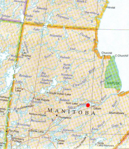
Red dot represents Gull Rapids, on the shores of the Nelson River, near Gillam, Manitoba

Gull Rapids satellite photo (Google
Earth).
Gull Rapids and islands are in middle of photo, bordered by Gull Lake on the
left (west) and Stephen's Lake on the right (east)

The good old Achilles boat on the shores of the Nelson River, 2004

Storm rolling in, Nelson River, 2004. Note intrusive and structural complexity in outcrop

Sunset on the Nelson River
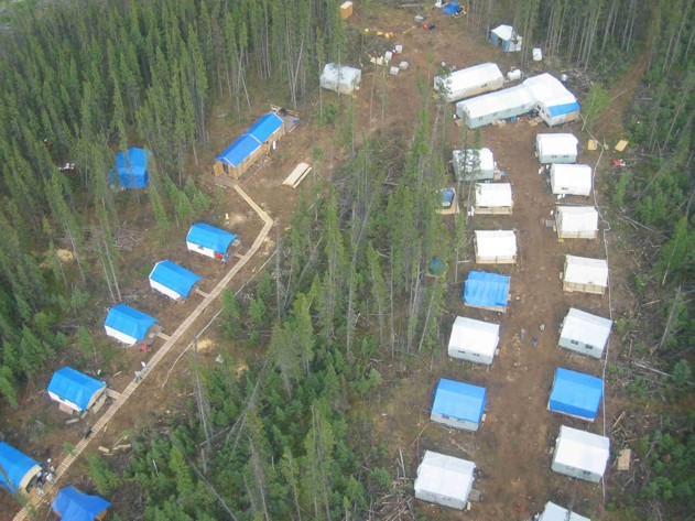
Overhead shot of the Manitoba Hydro/Manitoba Geological Survey camp at Gull Rapids, 2003
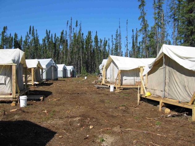
Manitoba Geological Survey side of camp, Gull Rapids, 2003

Custom Helicopter, 2003. Lawrence Norquay (formerly of Manitoba Hydro)

Shoufa and I, discussing rocks and the project at hand, 2003

An overhead photo of a subdomain at Gull Rapids. This area was mapped in 1:200 detail.
Note metasediments (dark), crosscut by granitoid intrusion (white), further crosscut by
mafic dykes (dark blue). These overhead photos provided us with a base for the mapping

Yvette Kuiper (formerly of UW, now at Boston College), and I,
surprised by photo (taken by Christian Bohm), 2003

Christian Bohm (MGS) and Shoufa Lin (UW), 2004
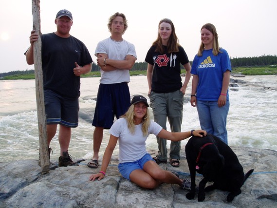
The MGS crew at Gull Rapids, 2004. Clockwise: Me, Geoff Speers, Melissa Bowerman (UofA),
Tawsh Dzikowski, Ripley the dog, and Jenn Vinck

The MGS crew, Split Lake, 2004. Clockwise: Melissa Bowerman (UofA), Moi (beautiful), Geoff Speers,
Russ Hartlaub (UofA), Tawsh Dzikowski, Yvette Kuiper (UW, BC), and Jenn Vinck

Black bear, up close and personal, Gull Rapids, 2003. I took this photo and pretty much took off.
So did the bear.
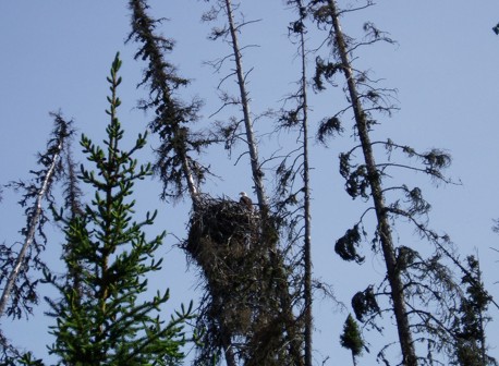
Eddie the Eagle, Gull Rapids resident eagle, 2004

My sock tree. Drying socks the easy way during the day, on the shores of the always-windy
Gull Rapids, Nelson River